

Open postcode geo
An api providing a lookup of British postcodes with additional fields optimised for geospace applications, including easting, northing, latitude, longitude, postcode area, postcode district, postcode sector, outcode and incode. All data is derived from the ONS Postcode Database, and is free to use without restriction as long as the OS, Royal Mail and ONS attributions are included.
The API version accepts a flexible input format which parses all postcode formatting variations, and also identifies postcode areas, postcode districts and postcode sectors.
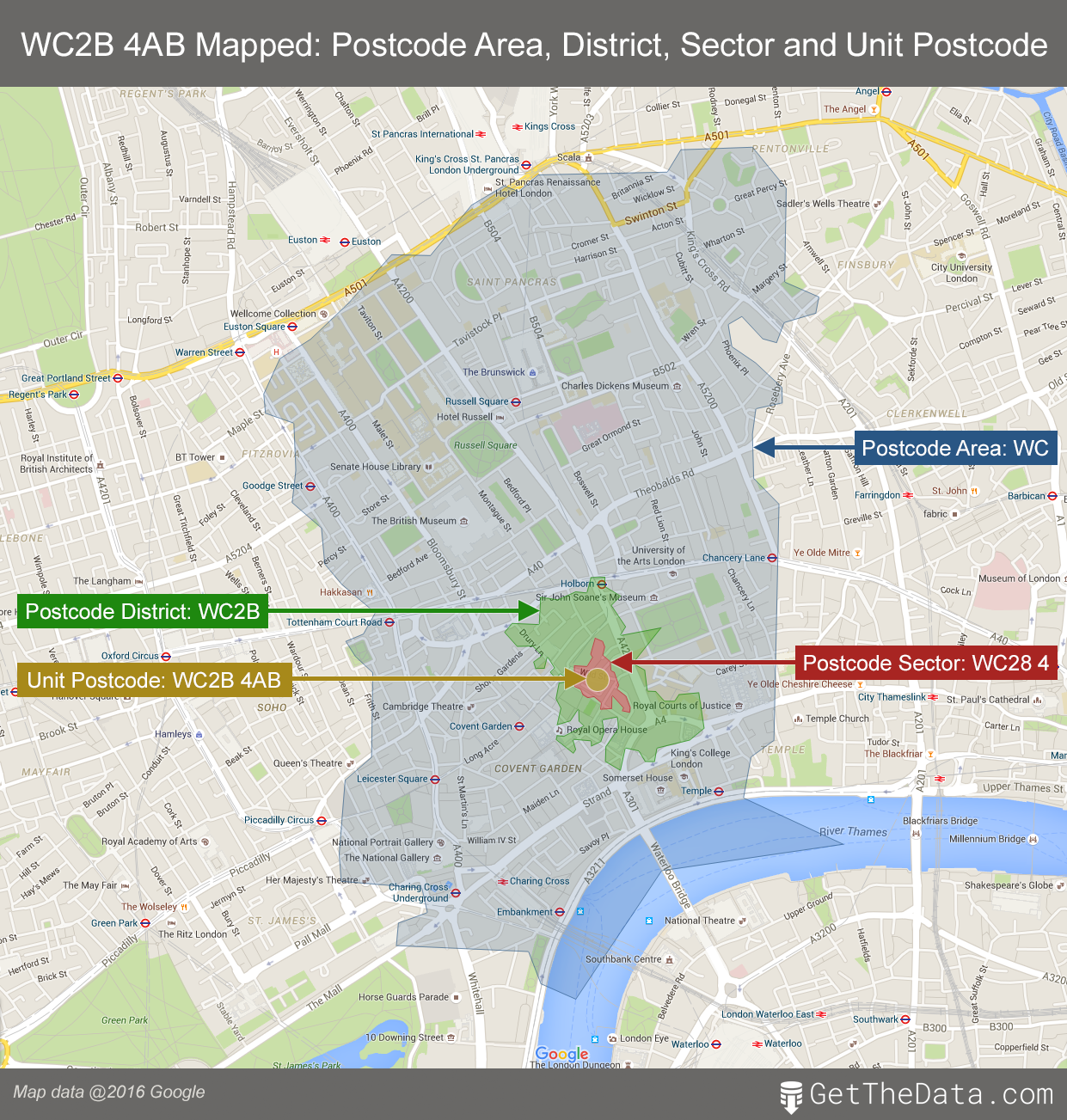
The below graphic illustrates the geographical relationship between postcode area, postcode district, postcode sector and unit postcode:
https://www.getthedata.com/postcode
Further information
For more information on Things to do with data, visit: www.getthedata.com