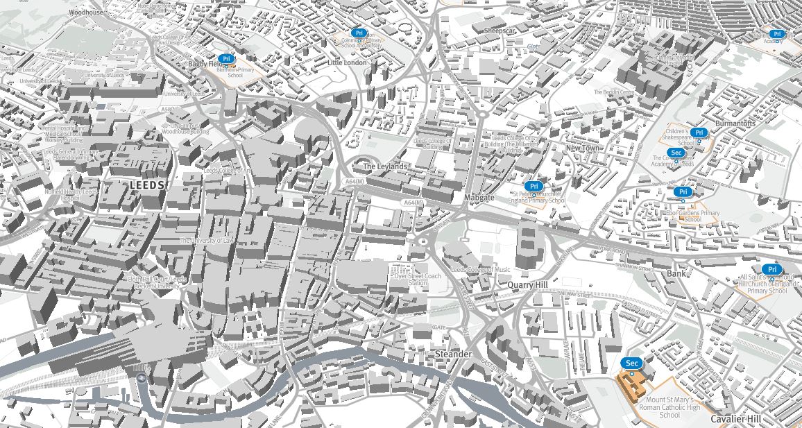
3D Maps of Leeds
Produced by: Parallel
Find out more: Leeds Schools 3D Map
Parallel offer a range of interactive 3D maps and exploratory exercises investigating the capabilities of data-driven Mapbox GL JS vector maps and the new 3D rendering capability. You can view from a range of maps including school locations in Leeds, population densities, fuel poverty, flood risk and much more.