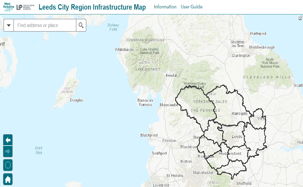
Leeds City Region Infrastructure Map
The infrastructure of a city region is vitally important to its future success in creating an appealing place to live, work and invest in. At the West Yorkshire Combined Authority, we’ve produced a free-to-access interactive map sharing all the information about the infrastructure of the Leeds City Region.
It covers everything under: boundaries, economic context, development, health and education, flood risk and drainage, green infrastructure and open space, transport, communications and digital, utilities and energy, and waste and minerals. You can filter the information about each category in the side menu.
The map draws in data from a wide range of sources to provide a general overview of physical and enabling infrastructure. The map also provides spatial overview of the City Regions planned housing and employment sites. These layers have been developed in partnership with all Leeds City Region Local Authorities.
Benefits of the Leeds City Region Infrastructure Map
• Brings together spatial data on all types of infrastructure into one City Region map to illustrate infrastructure needs and inter-relationships / spatial priorities;
• Provides a collective position on current (or emerging) Local Plan growth;
• Focuses on Leeds City Region Spatial Priority Areas for growth, key transport corridors/hubs and priority areas for infrastructure investment;
• Provides a spatial context for long term Leeds City Region strategies e.g. Strategic Economic Plan and Transport Strategy;
• Can be used to identify alignment between project / programme priorities with partners and stakeholders;
• To be used as a tool to undertake a spatial analysis of strategic infrastructure requirements or critical gaps to inform the infrastructure element of the emerging Locally Inclusive Industrial Strategy.