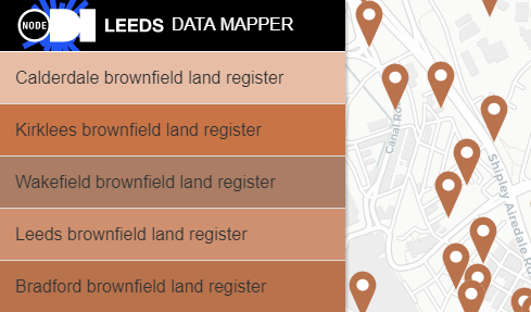
ODI Leeds Data Mapper (brownfield sites)
Produced by: ODI Leeds
Find out more: Website
From 31 December 2017 all local planning authorities are required to publish their brownfield land registers and to review them at least once a year. The standardised registers will ensure that information and data about brownfield land across the country can be aggregated and presented in a variety of ways.
ODI Leeds have taken the datasets published the five West Yorkshire local authorities and added them to their Data Mapper.
Bradford data: https://datamillnorth.org/dataset/bradford-brownfield-register
Calderdale data: https://dataworks.calderdale.gov.uk/dataset/brownfield-land-register
Leeds data: https://datamillnorth.org/dataset/brownfield-land-register
Kirklees data: http://www.kirklees.gov.uk/beta/planning-policy/brownfield-land-register.aspx
Wakefield data: http://www.wakefield.gov.uk/planning/policy/brownfield-land-register
GOV.UK information relating to the publication of the registers: https://www.gov.uk/government/publications/brownfield-land-registers-data-standard